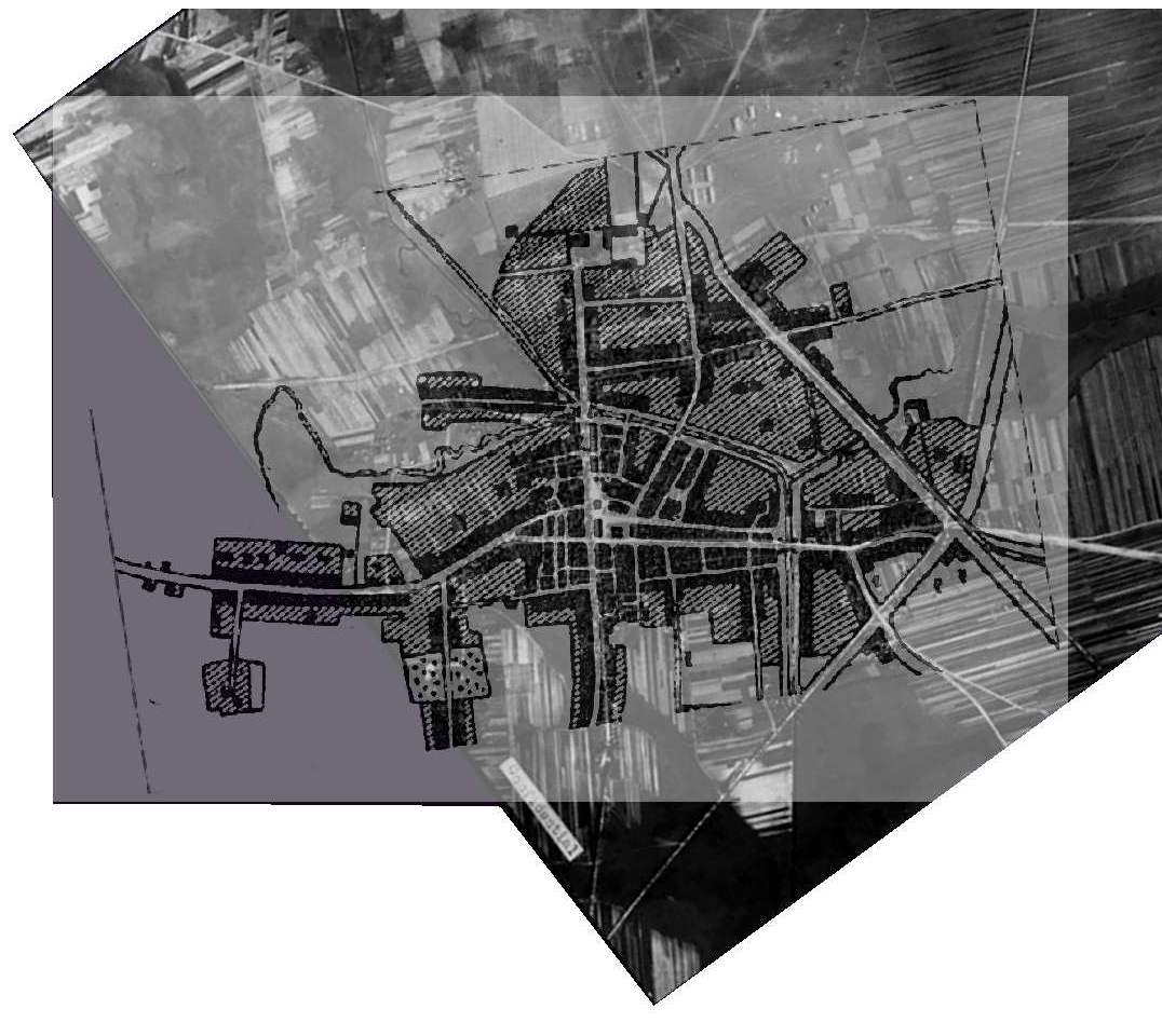
Early 1900s map superimposed on Aerial photo
|
Back |
Pruzany Page
|